

Resources
Contents:
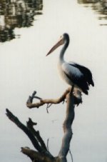
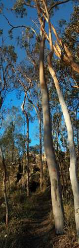
Flora & Fauna
| Maps
| Aerial Photos
| City Plan
| Newsletters
| History
Flora & Fauna
Koala markings survey
- 154 Horizon Drive (June 2006)
Observations of Macropods:
.. Locality Map (371kb PDF file)
.. Observations
Maps
Centenary Parks - highlighting new parks since 1991 (272k).
(update Sep-2013) ![]()
Pullen
Reach 1:5000 (108k).
Mt Ommaney Walkway 1:5000
(109k).
Locality Map 1:25,000
(281k).
Coucal Trail
- Pullen Reach (34k).
Centenary Parks ~1996 (43k).
Cent_Parks ~1996 with streets (80k).
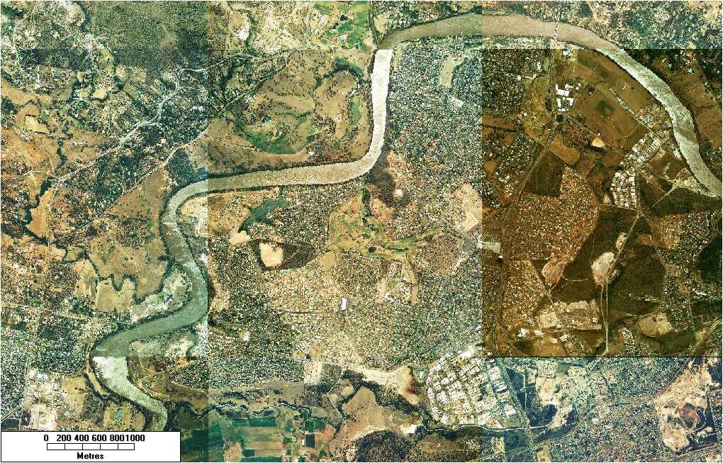
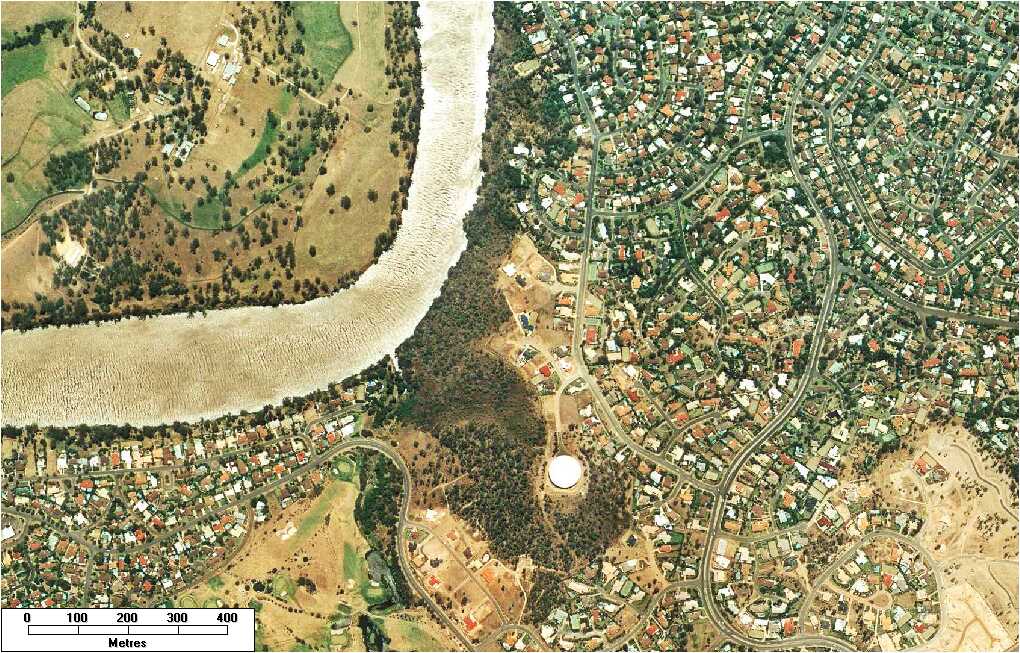
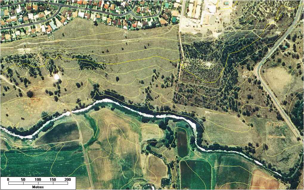
Aerial Photos
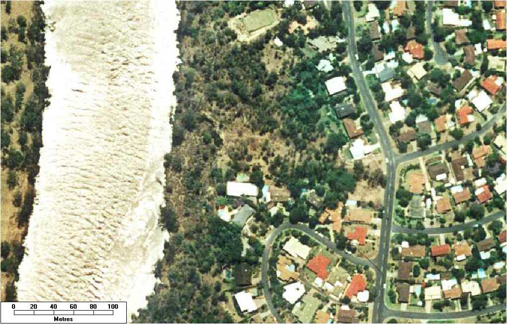
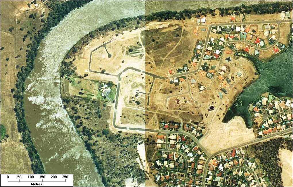
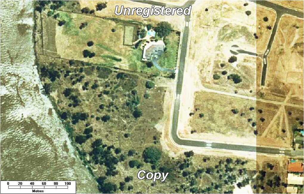
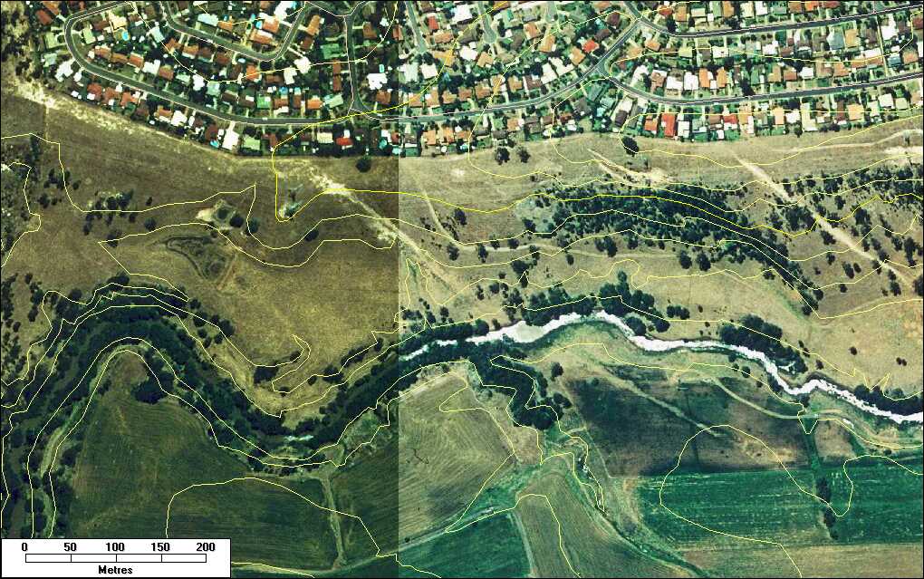
Past aerial photographs (circa 1994) provided for historical record.*
Centenary Suburbs (210Kb)
Mt Ommaney (177Kb)
Mt Ommaney - larger scale, with contours (162Kb)
Jindalee Bushcare Group site at gully & quarry (103Kb)
Tennent St/Westlake Drive (138Kb)
Tennent St/Westlake Drive (larger scale) (106Kb)
Gidgi Close to Tennent St (151Kb)
Gidgi Close to Tennent St - topographical profile (33Kb)
Wolston Creek - western section (142Kb)
Wolston Creek - eastern section (140Kb)
*Imagery copyright Qld Dept of Natural Resources & Mines, sourced from MapView CD (c2004).
City Plan 2000
(version July 2005)
Western Gateway Local Plan (1.4MB)
Western Gateway Local Plan - Maps A & B only (1.1MB)
Chap 2 - Strategic Plan (incl Maps A,B,C & D) (1.8MB)
Strategic Plan Maps A,B,C & D only (1.5MB)
Past Newsletters
|
No. 13 - March 2001 (646kb PDF) |
History
Early European Exploration of the Brisbane River
(Extracts from early European explorers' journals relating to the Brisbane River in the vicinity of the present day Centenary suburbs.)